Nukumaru 1A7B
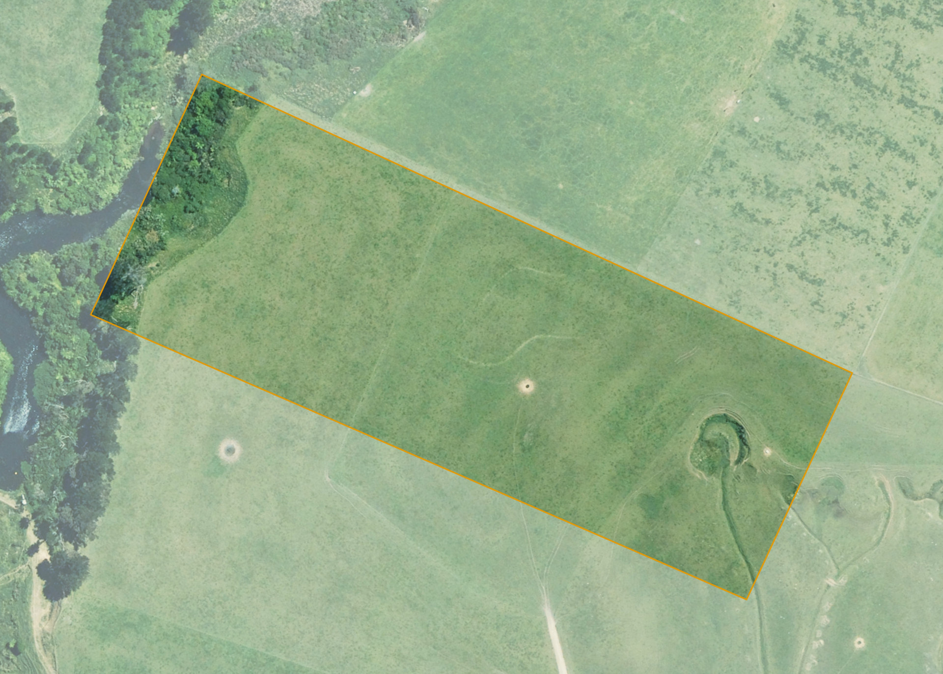
Nukumaru 1A7B is a 6.475 hectare property situated on an unformed right of way at Nukumaru, south of State Highway 3, and is approximately 30 kilometres west of Whanganui. The land is flat to easy in contour with an area of sidling and steeper sidling. The block is landlocked.
The effective area, approximately 5.67 hectares, is currently utilised for dairy platform. The balance of the land can be attributed to retired bush, the streambed and spring area.
Land Information
- Land area:
- 6.475 hectares
- Location:
- 144 Rangitatau East Rd, Nukumaru
- Region:
- Taranaki
- Māori Land Court region:
- Aotea
- Role of Māori Trustee for this whenua:
- Responsible Trustee
Learn more about the role of the Māori Trustee.
Owner Information
There are 145 people or whānau trusts who have shares in Nukumaru 1A7B.
Find individual owners or whānau trusts for this whenua
Tip: Search by first name
If you have a question about this whenua or you want to update your details please contact us.
Find out about upcoming owner hui for this whenuaStay connected with My Whenua
My Whenua is our online service for owners, trustees, whānau and those with a connection to whenua we look after on their behalf.
It’s a way to stay up to date with information about your whenua, including:
- Maps and photos
- Owner reports
- A list of owners
- Minutes of owner hui, and more.