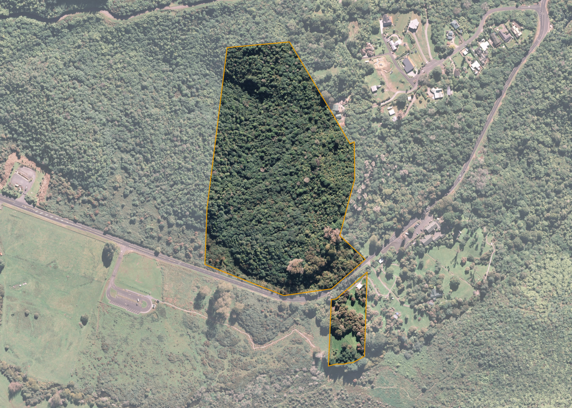
Rotomahana Parekarangi 6J2B3
Rotomahana Parekarangi 6J2B3 is a 11.4 hectare property situated on Tarawera Road, some 11km from Rotorua and access is gained via Te Wairoa Buried Village on Tarawera Road.
The block is predominately flat contour.
Rotomahana Parekarangi 6J2B3 is utilised for tourism purposes.
The block is incorporated within the Te Wairoa Buried Village tourism complex. Te Wairoa Buried Village facilities tours through the ruins of a village settlement completely buried as a result of the 1886 eruption of Mount Tarawera. The majority of infrastructure including cafe, museum and historic buildings are on the freehold Land. The lease area includes several archaeological features, being the remnants of the former village settlement.
Land Information
- Land area:
- 11.4146 hectares
- Location:
- Tarawera Road, Rotorua
- Region:
- Bay of Plenty
- Māori Land Court region:
- Waiariki
- Role of Māori Trustee for this whenua:
- Custodian Trustee
Learn more about the role of the Māori Trustee.
Owner Information
There are 182 people or whānau trusts who have shares in Rotomahana Parekarangi 6J2B3.
Find individual owners or whānau trusts for this whenua
Tip: Search by first name
If you have a question about this whenua or you want to update your details please contact us.
Find out about upcoming owner hui for this whenuaStay connected with My Whenua
My Whenua is our online service for owners, trustees, whānau and those with a connection to whenua we look after on their behalf.
It’s a way to stay up to date with information about your whenua, including:
- Maps and photos
- Owner reports
- A list of owners
- Minutes of owner hui, and more.