Kaihu 1A2D5
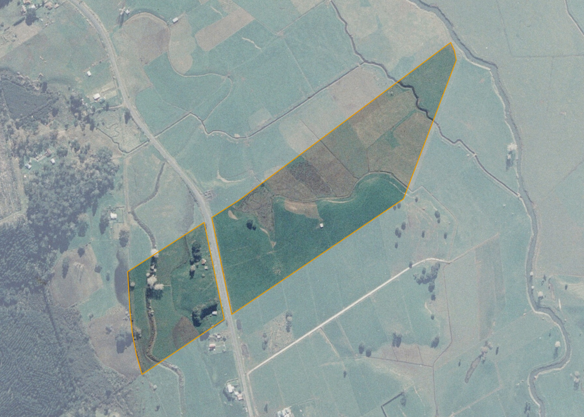
Kaihu 1A2D5 is a 19.2555 hectare property situated on State Highway 12, approximately 20 kilometres from Dargaville. The land is a mixture of terraces and river flats in contour and has an open aspect. The block can be accessed from State Highway 12.
The effective area, approximately 16 hectares, is currently utilised for dairy support. The balance of the land can be attributed to bush and swampy areas.
There is a dwelling on the property that is excluded from the lease..
Land Information
- Land area:
- 19.2555 hectares
- Location:
- State Highway 12, Kaihu
- Region:
- Northland
- Māori Land Court region:
- Taitokerau
- Role of Māori Trustee for this whenua:
- Responsible Trustee
Learn more about the role of the Māori Trustee.
Owner Information
There are 123 people or whānau trusts who have shares in Kaihu 1A2D5.
Find individual owners or whānau trusts for this whenua
Tip: Search by first name
If you have a question about this whenua or you want to update your details please contact us.
Find out about upcoming owner hui for this whenuaStay connected with My Whenua
My Whenua is our online service for owners, trustees, whānau and those with a connection to whenua we look after on their behalf.
It’s a way to stay up to date with information about your whenua, including:
- Maps and photos
- Owner reports
- A list of owners
- Minutes of owner hui, and more.