Okarito 19
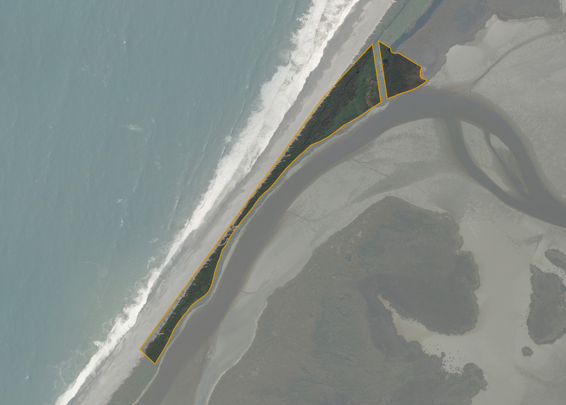
Okarito 19 is a 9.81 hectare property situated approximately 1.5 kilometres from Okarito. This is a thin coastal strip of land between the Okarito Lagoon and the coastline which has nominal agricultural value and is inaccessible by foot.
The Department of Conservation administer the majority of the land in the Okarito Lagoon environment and have an ongoing restoration project for the area.
Land Information
- Land area:
- 9.8136 hectares
- Location:
- On Forks-Okarito Road, Westland
- Region:
- West Coast
- Māori Land Court region:
- Te Waipounamu
- Role of Māori Trustee for this whenua:
- Responsible Trustee
Learn more about the role of the Māori Trustee.
Owner Information
There are 71 people or whānau trusts who have shares in Okarito 19.
Find individual owners or whānau trusts for this whenua
Tip: Search by first name
If you have a question about this whenua or you want to update your details please contact us.
Find out about upcoming owner hui for this whenuaStay connected with My Whenua
My Whenua is our online service for owners, trustees, whānau and those with a connection to whenua we look after on their behalf.
It’s a way to stay up to date with information about your whenua, including:
- Maps and photos
- Owner reports
- A list of owners
- Minutes of owner hui, and more.