Pukemanuka A3
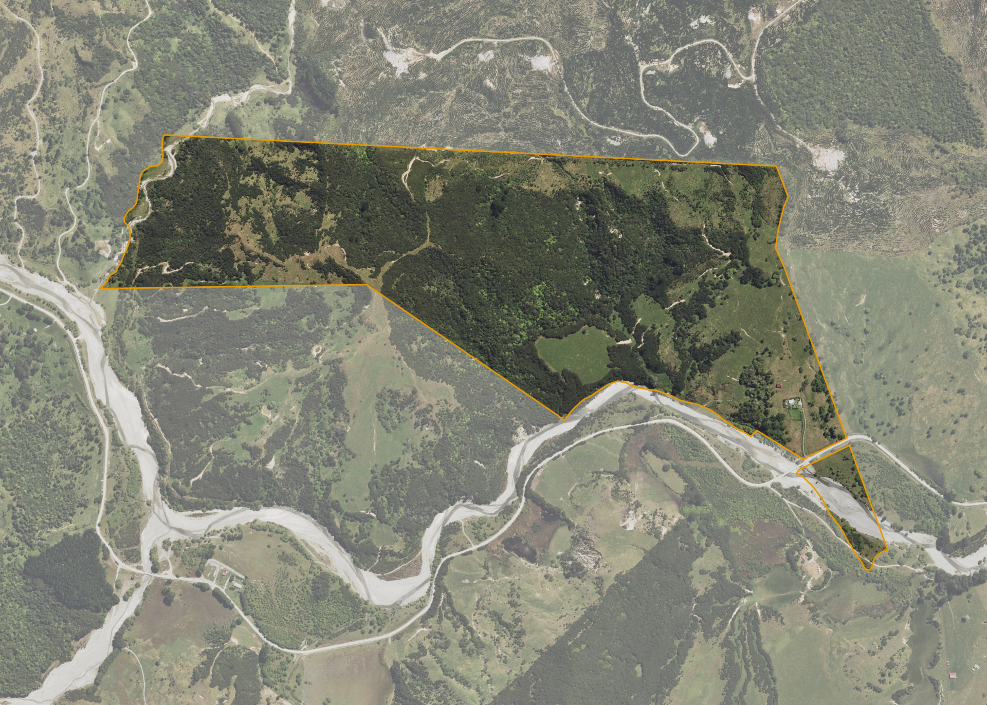
Pukemanuka A3 is a 93.6714 hectare property situated on both sides of Poroporo Road, Tikitiki, and is approximately 150 kilometres north-east of Gisborne. The land ranges from easy to steep hill in contour. The block can be accessed from Poroporo Road.
The effective area, approximately 25 hectares, is currently utilised for grazing. The balance of the land can be attributed to bush and river shingle.
There is a dwelling, an old woolshed and an old store shed on the property. The dwelling is excluded from the lease.
Land Information
- Land area:
- 93.6714 hectares
- Location:
- Poroporo Rd, Tikitiki
- Region:
- Gisborne
- Māori Land Court region:
- Tairawhiti
- Role of Māori Trustee for this whenua:
- Responsible Trustee
Learn more about the role of the Māori Trustee.
Owner Information
There are 538 people or whānau trusts who have shares in Pukemanuka A3.
Find individual owners or whānau trusts for this whenua
Tip: Search by first name
If you have a question about this whenua or you want to update your details please contact us.
Find out about upcoming owner hui for this whenuaStay connected with My Whenua
My Whenua is our online service for owners, trustees, whānau and those with a connection to whenua we look after on their behalf.
It’s a way to stay up to date with information about your whenua, including:
- Maps and photos
- Owner reports
- A list of owners
- Minutes of owner hui, and more.